By Joe Anuta
Some flood insurance premiums are set to double after federal legislation was enacted over the summer, and portions of Queens residents recovering along the borough’s southern coast will be affected more than others.
The National Flood Insurance Program, overseen by the Federal Emergency Management Agency, is the sole agency that backs flood insurance to homeowners.
In response to the federal program’s increasing debt, Congress passed a bill called the Biggert-Waters Act of 2012, signed by the president in July, that seeks to make the program solvent by increasing premiums, ending subsidies and including more homes in its base.
Flood insurance is required for anyone engaged in a federally backed mortgage living in what FEMA determines is a flood-risk area.
An average policy in a high-risk area runs about $1,000 to $3,000 annually, but for many homeowners premiums will double within a few years under the new law, according to a report in The New York Times.
The legislation will cap annual increases in premiums to 20 percent, but will also end subsidies and include many more homes in its coverage base, according to the legislation.
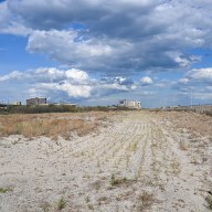
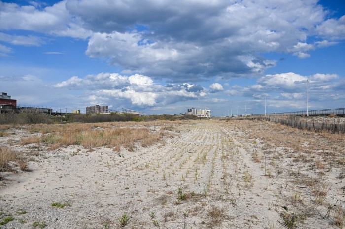
And those increases will hit some flood-ravaged communities in the Rockaways harder than others.
For instance, the median average income in Neponsit, which is made up of largely single-family homes, is about $100,000 and the majority of households earn more than $200,000 according to estimations from the U.S. Census Bureau, though the data came with large margins of error ranging from 30 percent to nearly 50 percent.
Bayswater has several areas that are also zoned for single-family detached homes, yet residents there have a median household income half of Neponsit’s, according to similar data from the bureau, with a 17 percent margin of error.
Many homeowners in decimated Breezy Point have vowed to rebuild. According to the bureau, their median household income is about $80,000 with a 7 percent margin of error. But new premiums could represent nearly 10 percent of a household’s yearly income.
The lowest income areas of the Rockaways, some with a median household income of $20,000, are in higher density housing stock including apartments, attached row houses and many city housing projects, meaning premium increases could trickle down in the form of higher rent.
According to Robert Hartwig, president and economist at the Insurance Information Institute, an industry trade association, the government had been charging artificially low premiums for decades and in effect subsidizing low-cost coastal development.
“The existence of subsidized flood coverage has encouraged and enabled substandard construction to occur in very vulnerable areas,” Hartwig said. “It is a principal reason why the U.S. is so vulnerable to events like Katrina and Sandy.”
Why the rates stayed so low is a matter of speculation, with The Times pointing the finger at real estate lobbyists. But the weather events of 2005, when the insurance program went $18 billion into debt after Hurricane Katrina, spurred Congress into action with the prospect of future storms and more borrowing from the U.S. Treasury, according to congressional legislation.
The new rates, according to Hartwig, may displace some low- and middle-income residents in flood-prone areas of Queens, but the modified premiums more accurately reflect the risk involved with owning a home there.
“If the program had been doing this consistently for the last 44 years, it would have more money in the bank relative to exposure and it’s likely there would be fewer structures in harm’s way than there are today,” he said.
Reach reporter Joe Anuta by e-mail at januta@cnglocal.com or by phone at 718-260-4566.